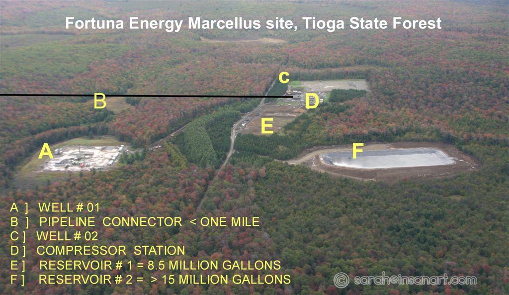
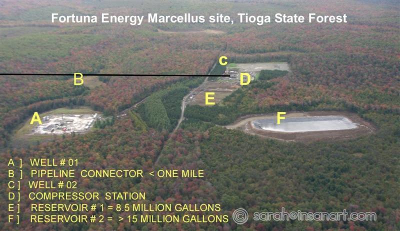
FCR - Tioga State Forest Tract 587
Date: 12/16/2009
Photo courtesy of Dick Martin, taken 10/1/09. You'll notice that this was before the black pipes from the water pond (F) had been run to the well to the north (A). Both the wells marked on this photo are situated on sensitive portions of the watershed.
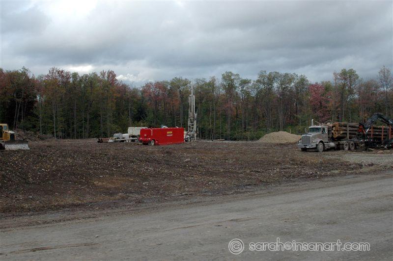
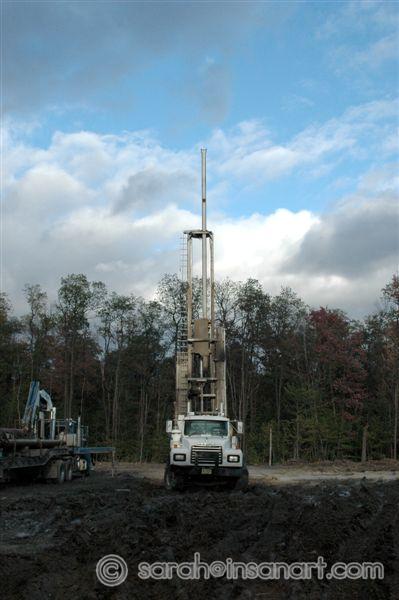
RR - early stages at pad
Date: 10/28/2009
This pad (permitted for 6 wells) is right next to River Road. You can't miss it. It is located directly across the road from a hiking/snowmobile trail head.
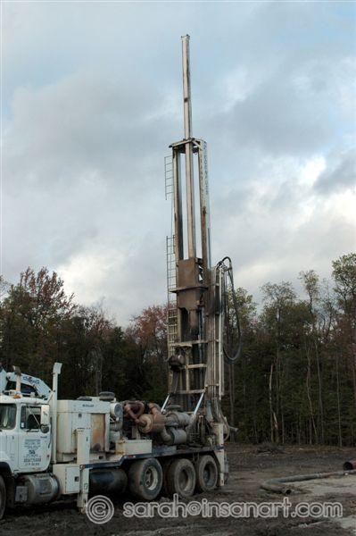
RR - early stages at pad, 2
Date: 10/28/2009
This pad (permitted for 6 wells) is right next to River Road. You can't miss it. It is located directly across the road from a hiking/snowmobile trail head.
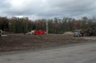
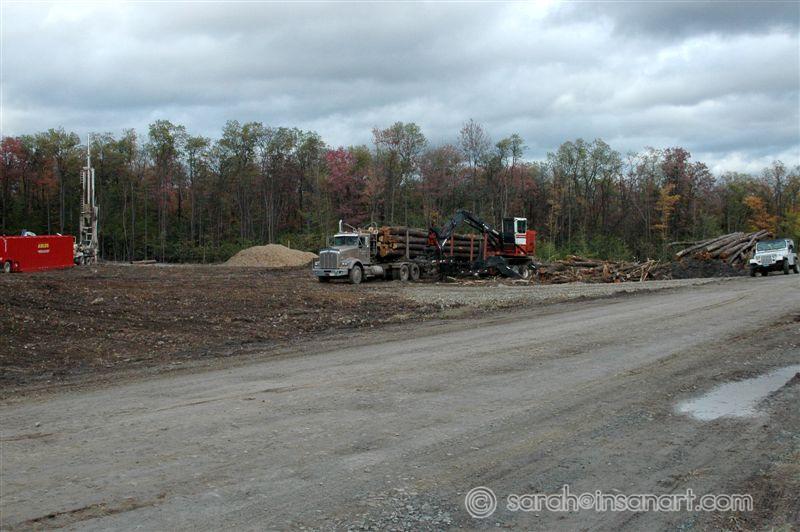
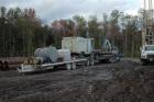
RR - early stages at pad, 3
Date: 10/28/2009
This pad (permitted for 6 wells) is right next to River Road. You can't miss it. It is located directly across the road from a hiking/snowmobile trail head.
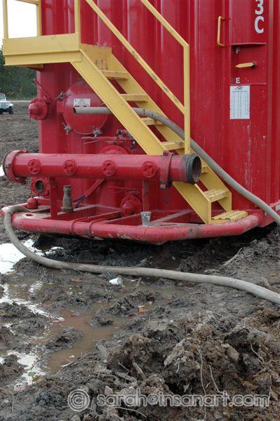
RR - Tanks
Date: 10/28/2009
Water tank at the River Road pad. Note the hose just stuck through the stairs and the "used" styrofoam cups on the ground (see 2 photos ahead for close-up).
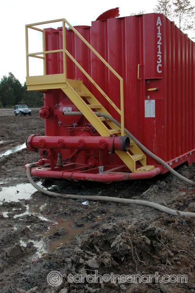
RR - Tanks, 2
Date: 10/28/2009
Water tank at the River Road pad. Note the hose just stuck through the stairs and the "used" styrofoam cups on the ground (see next photo for close-up).
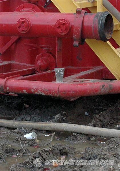
RR - What are they using the Styrofoam cups for?!?
Date: 12/16/2009
I'd love to know in what important part of this process is the Styrofoam cup a crucial tool? It looks like drilling mud or something. Regardless, I'd love to know why they left the garbage on the ground...
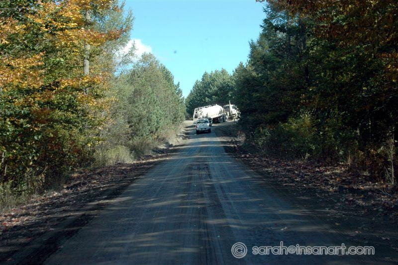
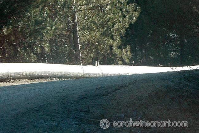
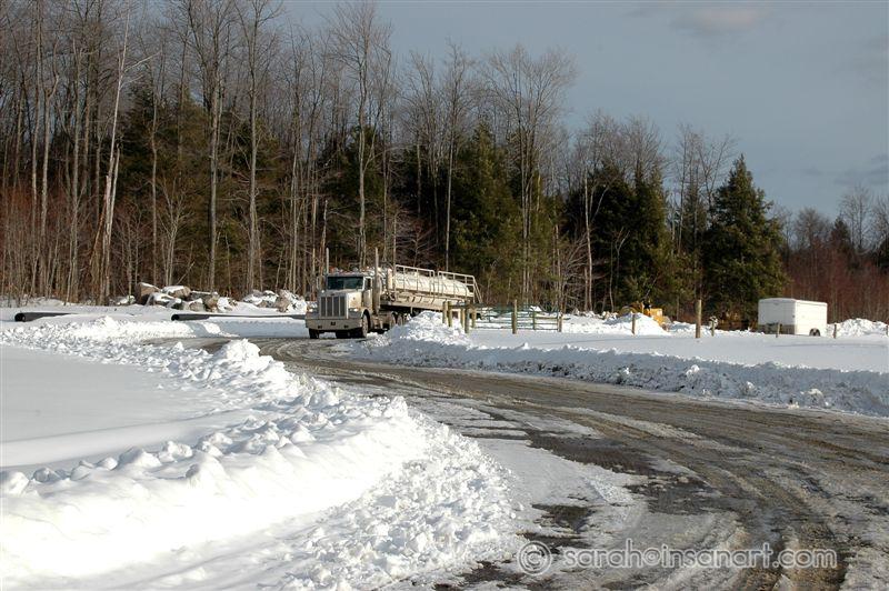
FCR - Truck going to H2O pond
Date: 10/28/2009
This is looking east from the western end of Fellows Creek Rd. Out the right turn where the truck is heading is a water pond/reservoir with a capacity for over 15 MILLION gallons.
RR - Trucks crossing Fall Brook Creek
Date: 10/28/2009
This is actually looking west from the River Road/Fall Brook Rd. intersection.
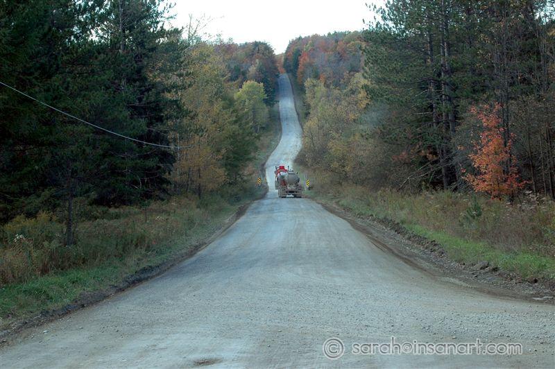
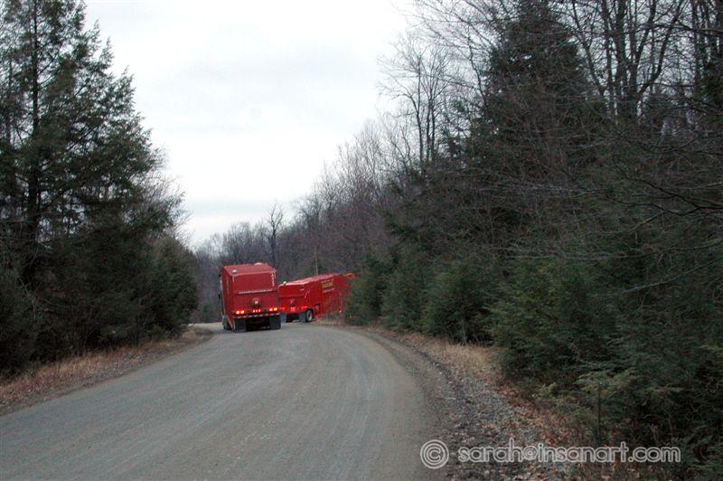
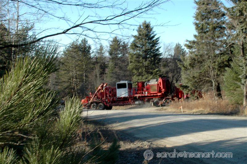
RR - Trucks coming up to Fall Brook wells
Date: 10/28/2009
These are trucks coming up the hill (east) from Morris Run to Fall Brook.
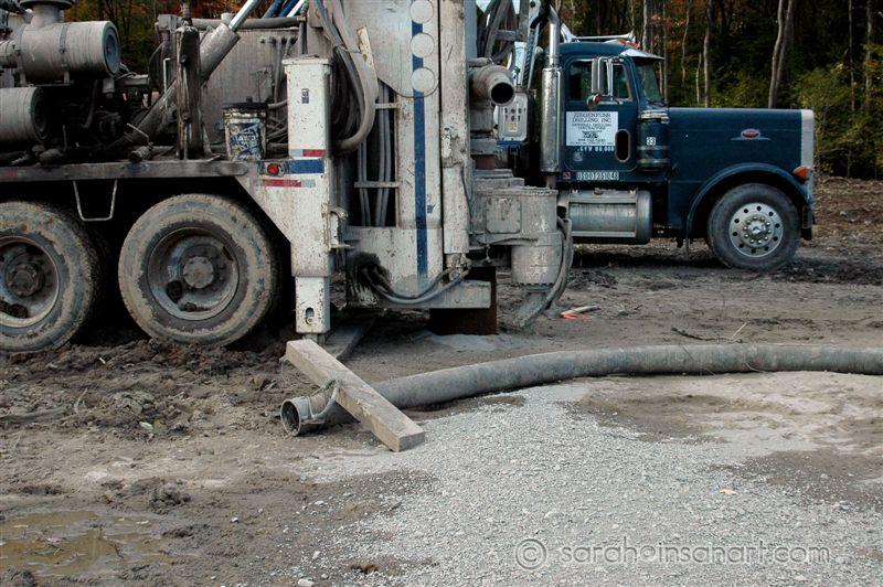
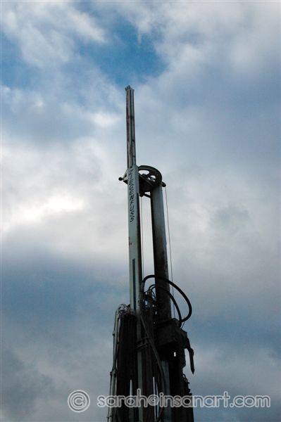
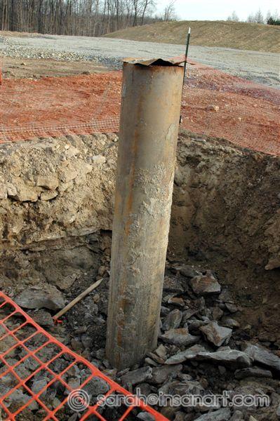
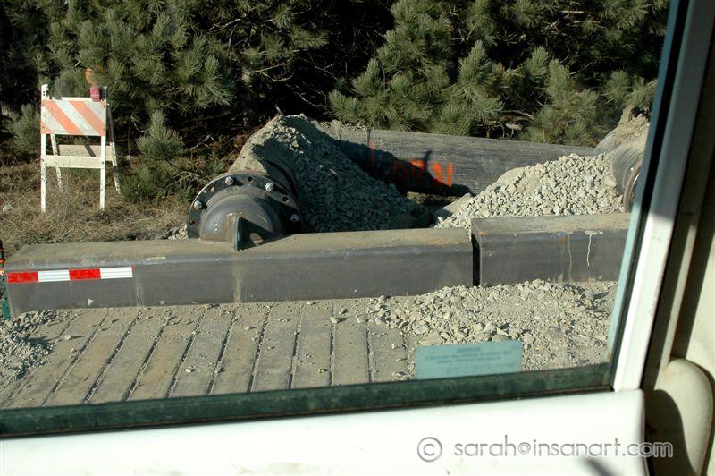
RR - Wells "pre-drilled"
Date: 12/16/2009
I think this is the primary well bore, before the hydraulic fracturing process begins.
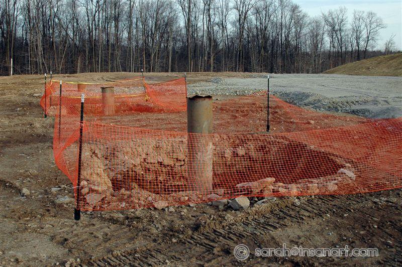
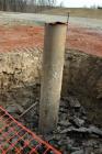
RR - Wells "pre-drilled", 2
Date: 12/16/2009
I think this is the primary well bore, before the hydraulic fracturing process begins. Check out the trash in the hole and that orange fence is sure to keep everything out that it needs to, right?!?
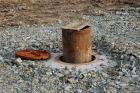
RR - Well, no fence
Date: 12/16/2009
Same site as the orange fences, but for some reason this one (and another) were not fenced. No pits around them either.
RR - Well, no fence, 2
Date: 12/16/2009
Same site as the orange fences, but for some reason this one (and another) were not fenced. No pits around them either.
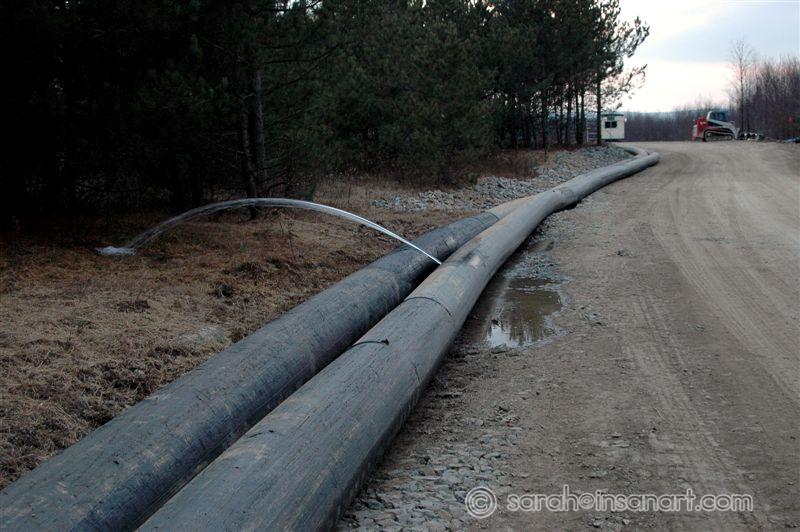
WATER LEAK!!! - pipes from H2O impoundment to well pads
Date: 12/16/2009
We just happened upon this water just spurting out of a hole in the side of this pipe. It appeared to just be water, but still, that is so wasteful. We saw a worker approach this not too long after we discovered it, he didn't seem to be too concerned - he proceeded to WASH HIS HANDS in the leak. Photos of the "fix" for this leak after the next photo.
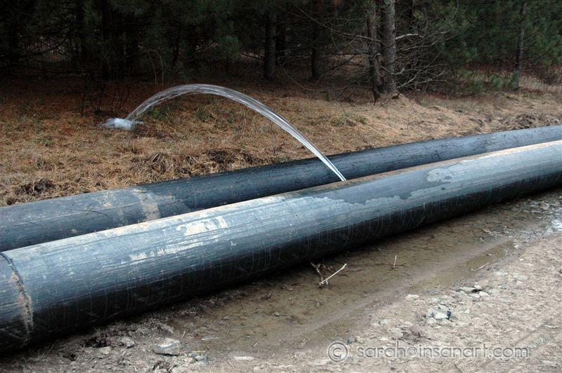
WATER LEAK!!! - pipes from H2O impoundment to well pads, 2
Date: 12/16/2009
We just happened upon this water just spurting out of a hole in the side of this pipe. It appeared to just be water, but still, that is so wasteful. We saw a worker approach this not too long after we discovered it, he didn't seem to be too concerned - he proceeded to WASH HIS HANDS in the leak. Photos of the "fix" for this leak, next 2 photos.
How to fix an industrial sized H2O leak? Stuff some pipe in there!
Date: 12/16/2009
So, I came back 3 days later to see if this pipe was still leaking. It had been "fixed" - they took a piece of the same kind of pipe, slashed it, flattened it and then stuffed it in between the two pipes to block off the leak. It's so nice to know that they value our FREE, FRESH WATER so much. Zoom on the "fix" in the next photo.
How to fix an industrial sized H2O leak? Stuff some pipe in there! - ZOOM
Date: 12/16/2009
So, I came back 3 days later to see if this pipe was still leaking. It had been "fixed" - they took a piece of the same kind of pipe, slashed it, flattened it and then stuffed it in between the two pipes to block off the leak. It's so nice to know that they value our FREE, FRESH WATER so much.
FBR - FCR - Tanker trucks turning on Fellows Creek Rd.
Date: 12/16/2009
Hundreds of trucks a week are destroying the all but seasonal roads in the Fall Brook area, Ward Township. Don't forget the diesel exhaust.
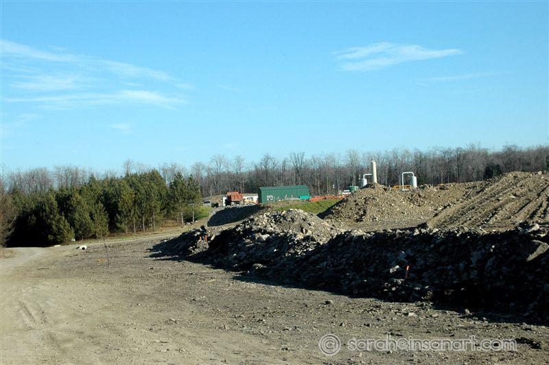
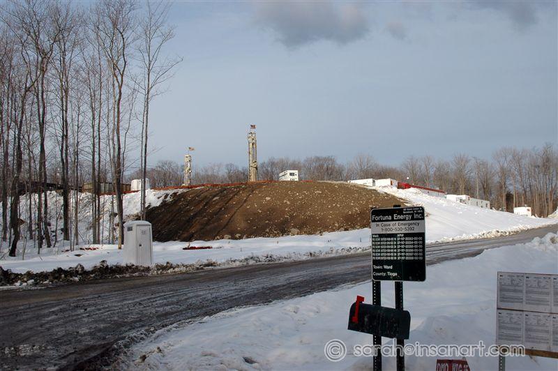
FCR - Compressor station, H2O Impound in progress
Date: 12/16/2009
The buildings in the background are part of the compressor complex on Fellows Creek Road. Even further behind this (and right on a swamp) is a well pad. The piles in the right foreground are the beginnings of yet ANOTHER pond being constructed on FCR (for 8.5 MILLION gallons of water).
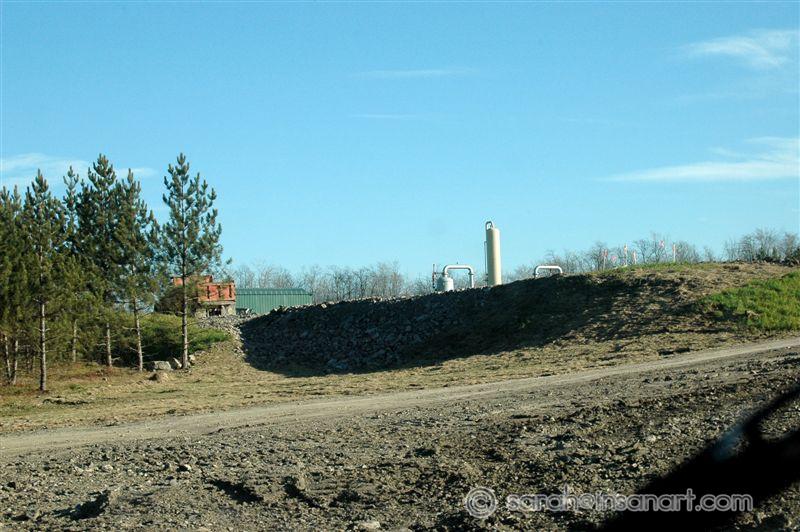
FCR - Compressor Station
Date: 12/16/2009
This is a poor view of the compressor station, but, this site is actually one of the few that is marked as no unauthorized entry (RARE!) so I have been unable to get a better shot.
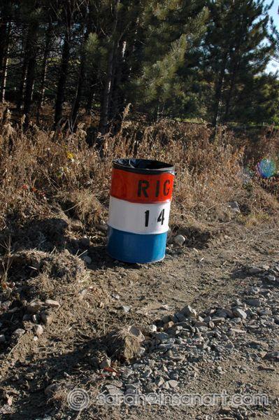
FCR - Rig 14 Trash Can
Date: 12/16/2009
Rig 14 Trash can at shared entrance for compressor station/well just east on FCR. I think these are used more for site identification since I see more trash outside them than in them...
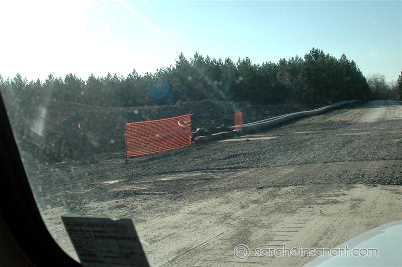
FCR - H2O pipes from pond to well
Date: 12/16/2009
This is around the corner from the leaky pipes. The pipes follow the side of the road until they go under the road and down the hill to the well pad to the north (also on yet another sensitive part of the watershed). Sorry about the shot - my windshield was very dirty!
FCR - H2O Pipes going under road
Date: 12/16/2009
This is around the corner from the leaky pipes. The pipes follow the side of the road until they go under the road and down the hill to the well pad to the north (also on yet another sensitive part of the watershed). Sorry about the shot - I try not to make a habit of shooting out my windows...
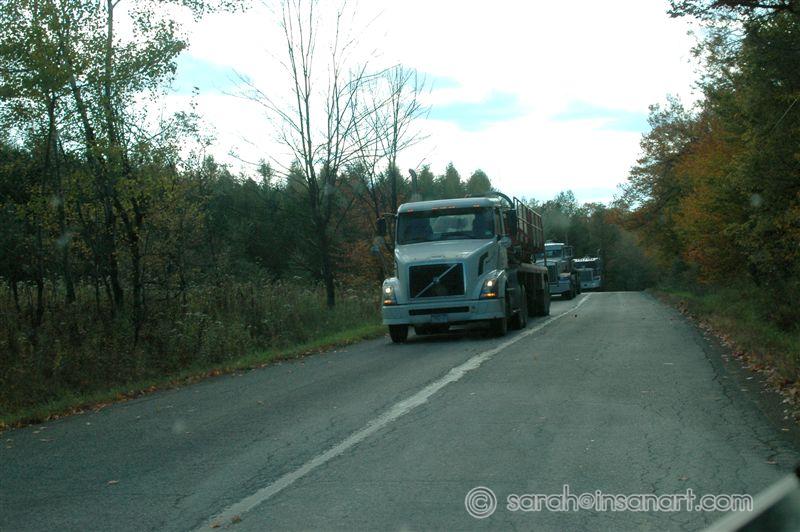
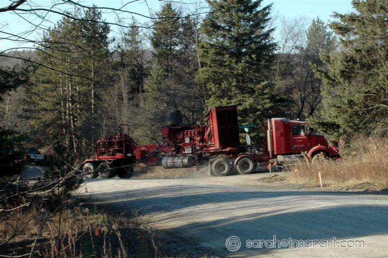
RR - FBR - Massive Truck Convoy
Date: 12/16/2009
Was taking pics of some foundations near the intersection of River Road and Fall Brook Road when I heard a thunderous roar of trucks coming up the hill from Morris Run. I ran out to the road to see this massive convoy of drill rig and chemical trucks turning the corner. Note that most of the trucks are marked "Halliburton".
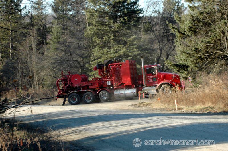
RR - FBR - Massive Truck Convoy, 2
Date: 12/16/2009
Was taking pics of some foundations near the intersection of River Road and Fall Brook Road when I heard a thunderous roar of trucks coming up the hill from Morris Run. I ran out to the road to see this massive convoy of drill rig and chemical trucks turning the corner. Note that most of the trucks are marked "Halliburton".
RR - FBR - Massive Truck Convoy, 3
Date: 12/16/2009
Was taking pics of some foundations near the intersection of River Road and Fall Brook Road when I heard a thunderous roar of trucks coming up the hill from Morris Run. I ran out to the road to see this massive convoy of drill rig and chemical trucks turning the corner. Note that most of the trucks are marked "Halliburton".
RR - FBR - Massive Truck Convoy, 4
Date: 12/16/2009
Was taking pics of some foundations near the intersection of River Road and Fall Brook Road when I heard a thunderous roar of trucks coming up the hill from Morris Run. I ran out to the road to see this massive convoy of drill rig and chemical trucks turning the corner. Note that most of the trucks are marked "Halliburton".
RR - FBR - Massive Truck Convoy, 5
Date: 12/16/2009
Was taking pics of some foundations near the intersection of River Road and Fall Brook Road when I heard a thunderous roar of trucks coming up the hill from Morris Run. I ran out to the road to see this massive convoy of drill rig and chemical trucks turning the corner. Note that most of the trucks are marked "Halliburton".
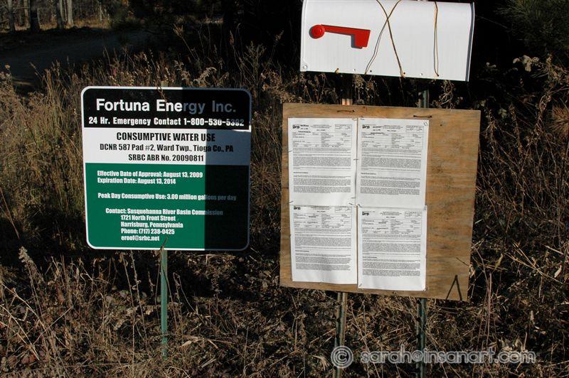
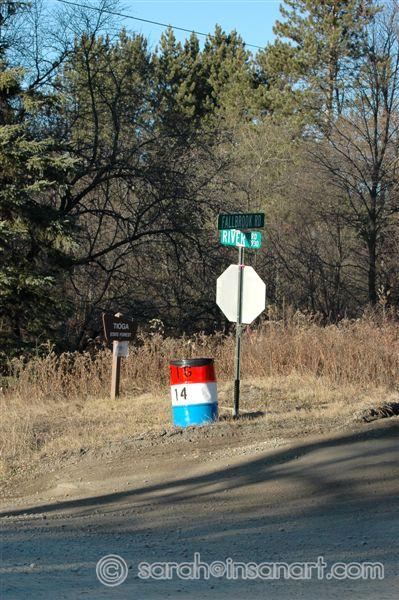
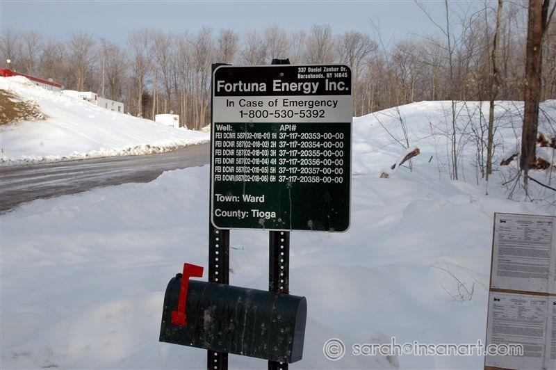
RR - FBR - Signs, signs, signs and trash
Date: 12/16/2009
Intersection of Fall Brook Road and River Road (west side). Note the street signs, the Tioga State Forest sign and then the lovely Rig 14 trashcan.
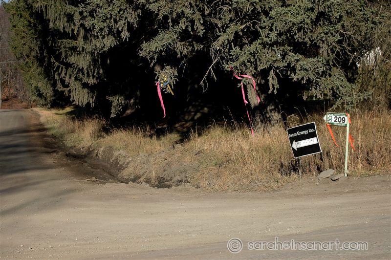
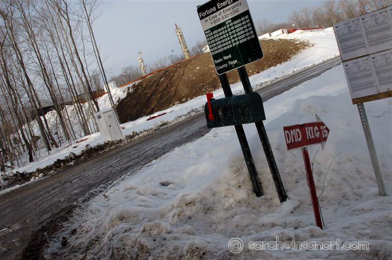
RR - FBR - Signs, flags and ruts
Date: 12/16/2009
Intersection of River Road and Fall Brook Road (east side). The corner is littered with multiple signs for drill sites and rigs. Then there are the several colors of flags hanging all over the pines on the corner. I have only one question: where's the party?!? Also note the huge, muddy rut on the corner from the hundreds of trucks a week that are taking that corner.
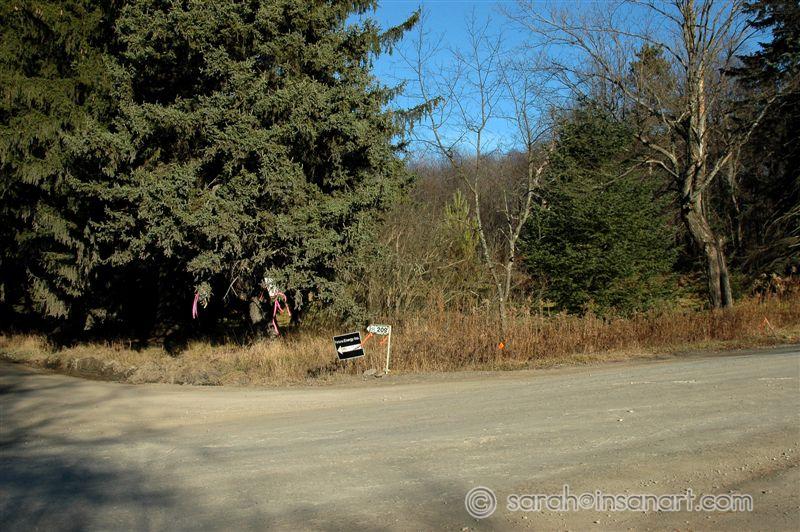
RR - FBR - Signs, flags, ruts and history
Date: 12/16/2009
Intersection of River Road and Fall Brook Road (east side). The land behind the trees here is what was once known as "downtown" Fall Brook. This is a historically sensitive area and the gas drilling activities are slowly encroaching on it.
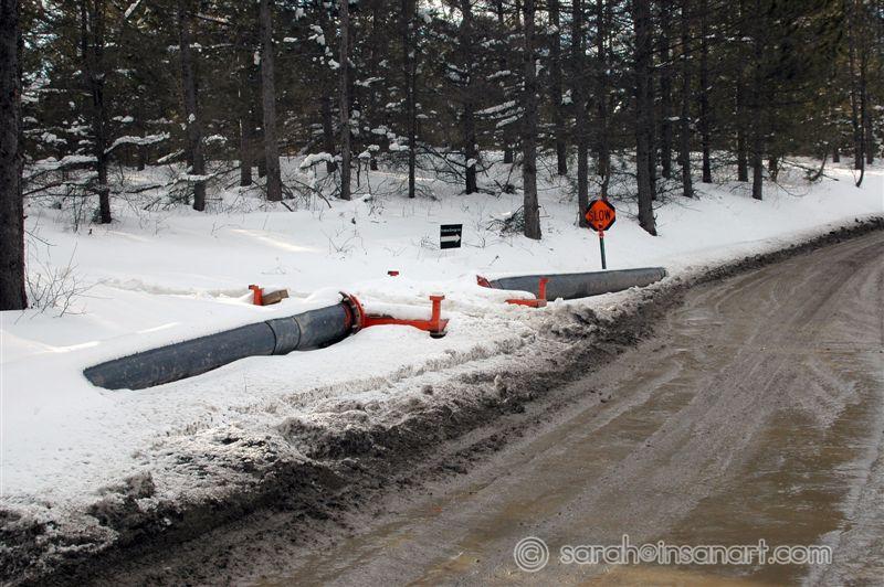
Water Pipes (from FCR pond) along FBR
Date: 03/26/2010
This a photo of water pipe running under and private access (I assume) and up the access road to a well site. These pipes are coming from the 15 Million gallon holding pond on FCR, nearly 2 miles away.
Compressor Station on Fellows Creek Rd.
Date: 03/26/2010
A bit better shot of the Compressor Station complex on Fellows Creek Rd. You can now very clearly see the well pad behind it and to the right, due to the drill rig. This well pad is situated on a wetland/tributary for Fall Brook creek.
Tanker at the 15 Million Gal. Pond on FCR
Date: 03/26/2010
I pulled in to the 15 million gallon holding pond off of Fellows Creek Rd. to show a friend and there was a tanker sitting there. Not sure if he was unloading or loading. Pond would be to the right of the truck.
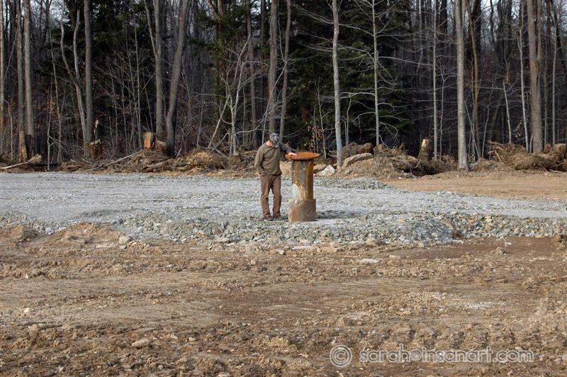
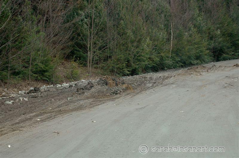
New site just 1/10 of a mile from Historic Area, Fall Brook, PA
Date: 03/26/2010
This site is just about one tenth of a mile north of what I consider to be the north end of "Fall Brook proper", or the land that the town of Fall Brook used to encompass. One day this was forest, almost the next, it was...this. This is also about a quarter mile north of a wetland area that flows into Fall Brook creek. This wetland area is loaded with old roads, dams, house foundations, etc...
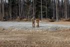
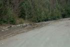
New site just 1/10 of a mile from Historic Area, Fall Brook, PA (2)
Date: 03/26/2010
This site is just about one tenth of a mile north of what I consider to be the north end of "Fall Brook proper", or the land that the town of Fall Brook used to encompass. One day this was forest, almost the next, it was...this. This is also about a quarter mile north of a wetland area that flows into Fall Brook creek. This wetland area is loaded with old roads, dams, house foundations, etc...
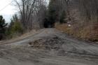
New site just 1/10 of a mile from Historic Area, Fall Brook, PA (3)
Date: 03/26/2010
This site is just about one tenth of a mile north of what I consider to be the north end of "Fall Brook proper", or the land that the town of Fall Brook used to encompass. One day this was forest, almost the next, it was...this. This is also about a quarter mile north of a wetland area that flows into Fall Brook creek. This wetland area is loaded with old roads, dams, house foundations, etc..
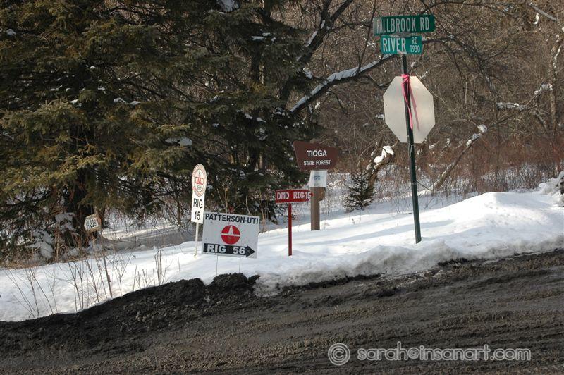
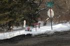
What's Missing? (The "Sustainable Forestry at Work" sign)
Date: 03/26/2010
This is "downtown" Fall Brook. I can't help but laugh (and be disgusted) when I see all these signs just randomly placed all around the State Forest sign. Whose forest is this? I used to recreate here - now I just prowl and try to document the massive failure of our state's sustainable forestry system. It's impossible to recreate when there are tanker and dumpers constantly running the roads and drilling blow-offs in the middle of the forest?