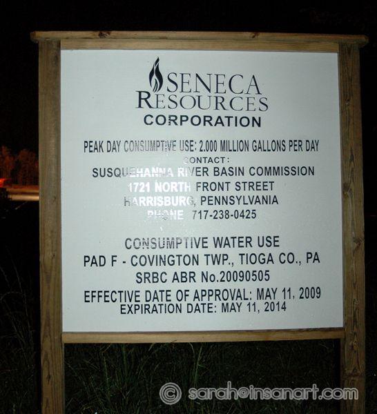
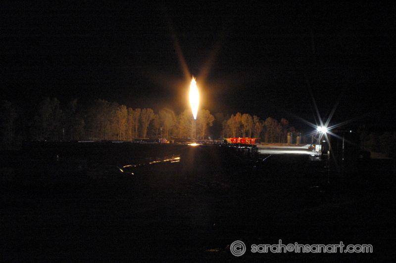
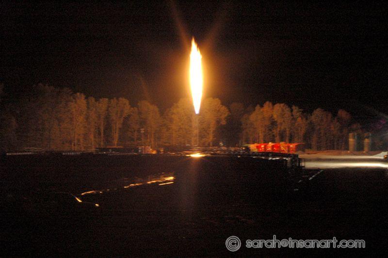
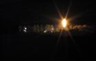
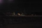
View from site 1
Date: 09/17/2009
Check out the size of that flame - the trees behind it are AT LEAST 40 foot tall (if not 50). This burn off practice is ILLEGAL in many countries. Where it is not completely illegal, the burns are taxed HEAVILY, or they are required to pump the gass back into the ground. HEY PENNSYLVANIA, that's 1000's of dollars of potential tax revenue (not to mention loads of harmful greenhouse gas emmissions) just floating away into the atmosphere.
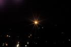
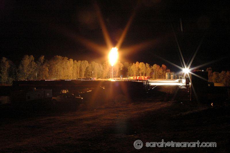
View from site 2
Date: 09/17/2009
Check out the size of that flame - the trees behind it are AT LEAST 40 foot tall (if not 50). This burn off practice is ILLEGAL in many countries. Where it is not completely illegal, the burns are taxed HEAVILY, or they are required to pump the gass back into the ground. HEY PENNSYLVANIA, that's 1000's of dollars of potential tax revenue (not to mention loads of harmful greenhouse gas emmissions) just floating away into the atmosphere.
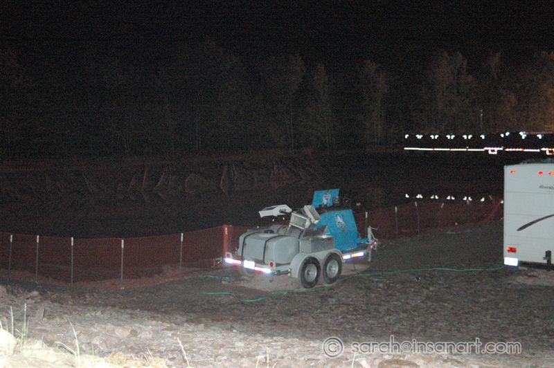
Frak water holding pond (night)
Date: 09/17/2009
This is pretty crappy photo of the rubber lined pond holding frak water at this site. I'll try to get there during the day to get a better shot.
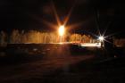
View from road/farm NE of site
Date: 09/17/2009
This is a view of the site from the neighboring farm NE of the site. The light is almost as bright as living next to a Walmart supercenter - of course, Walmart doesn't hiss with the sound a million times louder than a blowtorch. Better photo coming soon (also will try to get a nice shot of the cows down the road grazing, lit up like it's broad daylight).
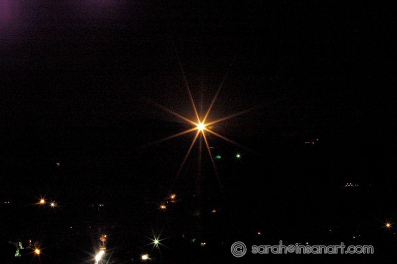
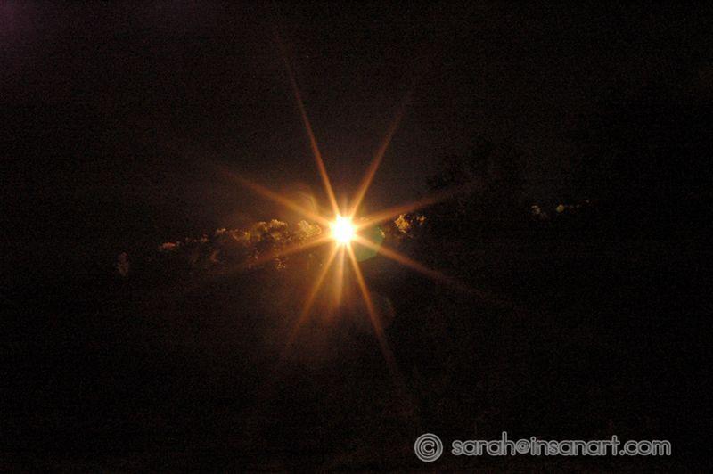
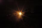
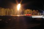
NIGHT View West across valley (from Frost Rd.)
Date: 09/24/2009
This is what the flare looks like on a clear night from Frost Rd., 3 miles east and across the valley from the well site. 30 second exposure.
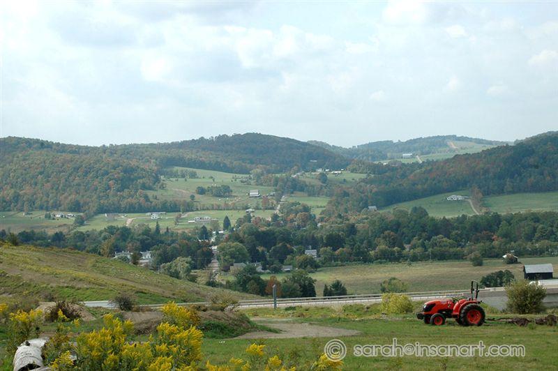
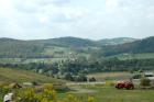
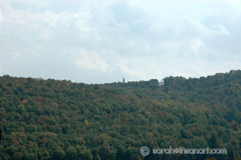
DAY View West across valley (from Frost Rd.)
Date: 09/24/2009
This is what that same view looks like during the day from Frost Rd., 3 miles east and across the valley from the well site.
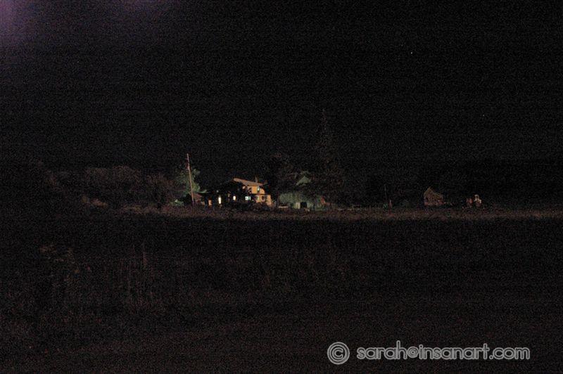
Lit up house just below (N) the site
Date: 09/24/2009
I have brightened this shot slightly to show the amount of light flickering on this house, just 1/3 mile north of the well (literally right below it in the valley). It was a 30 second long shot.
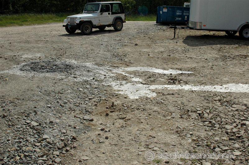
Sludge on the ground
Date: 09/24/2009
This is a small spill of some nasty looking gray sludge near the entrance to the well pad. I had to walk right past it to get a shot of the pond.
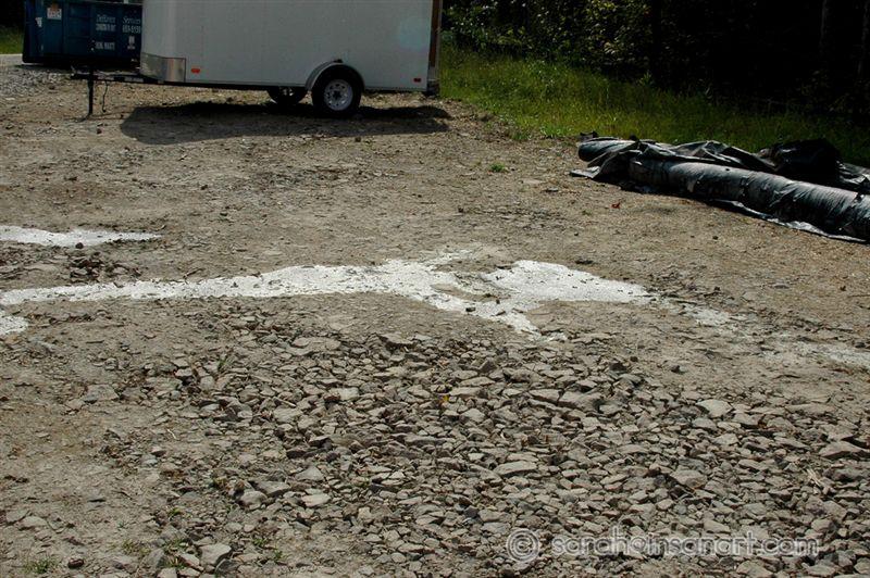
Sludge on the ground 2
Date: 09/24/2009
This is a small spill of some nasty looking gray sludge near the entrance to the well pad. I had to walk right past it to get a shot of the pond.
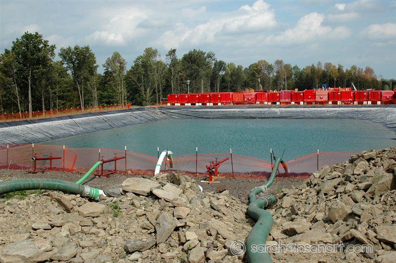
Frac water holding pond 1
Date: 09/24/2009
The pond looks fairly blue in this shot (don't let that fool you - that is not a natural color for water) - also, it is hard to see in this picture, but I was able to see the amount of sludge that had settled in the pond, especially on the one side, it was pretty full of sludge and sediment - yucky!
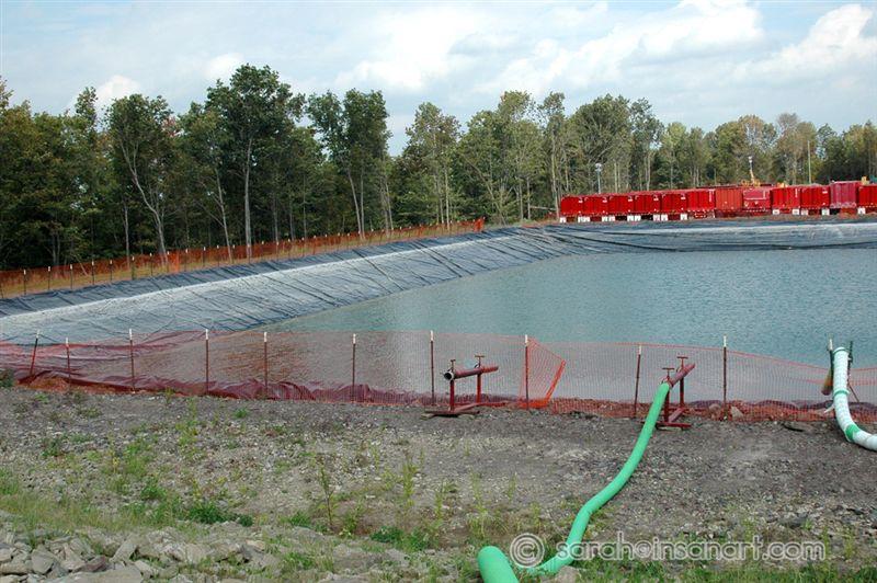
Frac water holding pond 2
Date: 09/24/2009
The pond looks fairly blue in this shot (don't let that fool you - that is not a natural color for water) - also, it is hard to see in this picture, but I was able to see the amount of sludge that had settled in the pond, especially on the one side, it was pretty full of sludge and sediment - yucky!
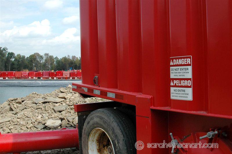
Tank connected to pond - notice the sign!!!
Date: 09/24/2009
There were a series of these tanks connected to the frac water holding pond - NOTICE THE SIGN!!! - "DANGER DO NOT ENTER This tank may contain fatal vapors"
Only shot I was allowed of the well head
Date: 09/24/2009
Well, this is the only shot I was allowed to take after entering the site and being approached by the manager and another man. They were visibly concerned about why I might be taking the photos and I was asked to sign some kind of sign-in/insurance log sheet for entering the site without the proper safety equipment. LET IT BE PUBLICLY KNOWN that there are no signs that said I couldn't be there (posted, no trespassing, do not enter, entering hard hat area, etc - NONE OF THESE).
Well being fracked East of this one
Date: 09/24/2009
Tried to find the entrance to this site because I REALLY wanted to get some pictures of the drilling/fracking rig and process, but I couldn't find the access road right away - will try again soon.
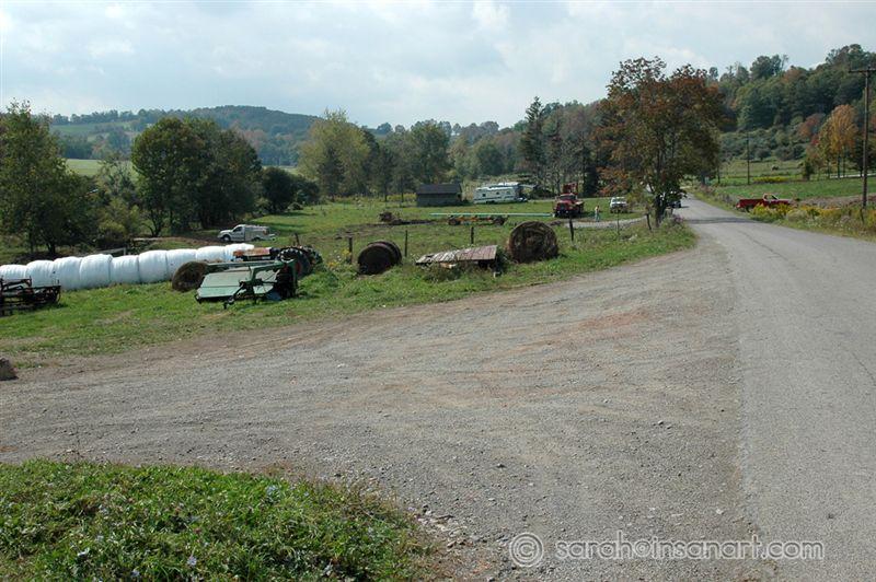
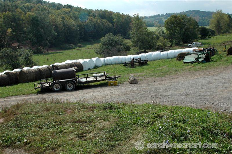
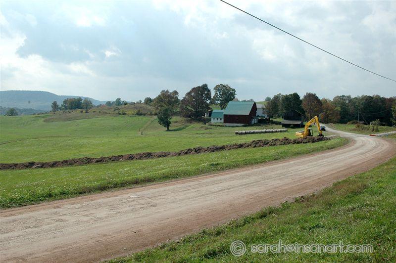
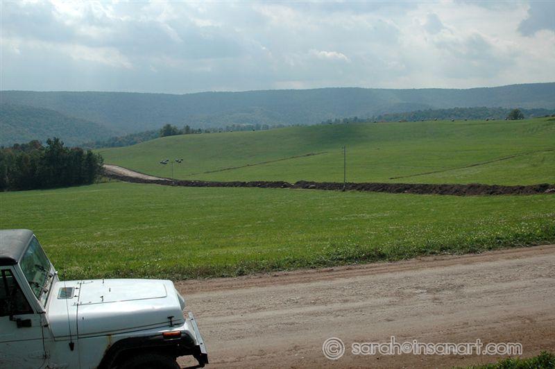
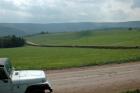
Pipeline work being done on farm N of well, 1
Date: 09/24/2009
See that tree line near the middle left side of the photo, above the white hay rolls? That is a drainage that is just hundreds of feet from the well. I went to check for methane in there on this day, only to find a pipeline crew there AND a brand new pipeline (that wasn't there 3 days prior).
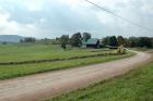
Pipeline work being done on farm N of well, 2
Date: 09/24/2009
See that tree line going through the middle of the photo, above the white hay rolls? That is a drainage that is just hundreds of feet from the well. I went to check for methane in there on this day, only to find a pipeline crew there AND a brand new pipeline (that wasn't there 3 days prior).
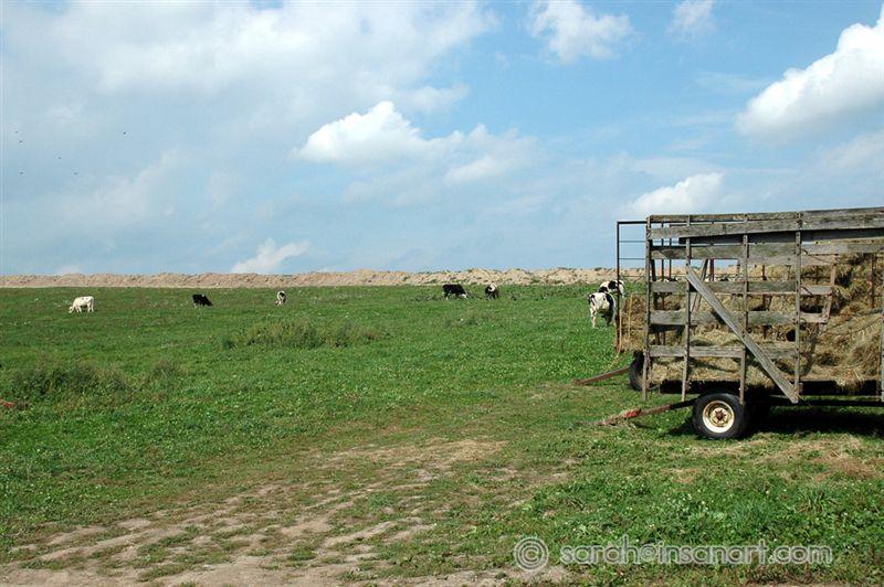
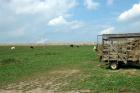
Cows and Gas pipeline
Date: 09/24/2009
That line of dirt just behind the cows is a new pipeline being laid. It wasn't there just days ago.
Pipeline crossing Packard Rd. 1
Date: 09/24/2009
This is one of the most beautiful farm locations and views on this road - now there is a pipeline right through it - just lovely (please see the next photo to see the view that has been ruined)